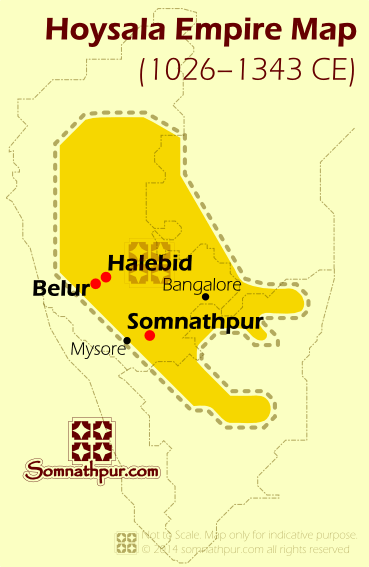
Hoysala Map
Hoysala Empire during 12th Century CE. Belur was the original capital, later moved to Halebid.

The political future of the upcoming Hoysalas was greatly influenced by the two larger neighboring powers – the Chalukyas of Kalyani and the Cholas of Thanjavur. During the 11th and 12th centuries power in the southern peninsula were focused on these two kingdoms. If you draw a diagonal line on the south India’s map connecting Vijayawada in Andhrapradesh to Mangalore in Karnataka, you can get a very approximate border between these two empires.
