Probably, this is not one of the most sought after routes from Bangalore to Munnar.If you have done the rest of the routes (those 4/6 lane diving) and wants to do something less frequented, try this route option. BR Hills make a good de-tour on the way.
Bangalore to Munnar via Chamarajanagar: Distance 474km
Bangalore > 62km > Kanakapura > 49km > Malavalli > 36km > Kollegal > 40km > Chamarajanagara > 77km > Sathyamangalam > 44km > Avinashi > 22km > Palladam > 56km > Udumalpet > 88km > Munnar
The second lap of this route (from Avinashi onwards) is identical to that of Bangalore to Munnar via Erode route. That is the 70 km Avinashi to Udumalpet and the 60 km high range ( hilly/forest ) stretch from Udumalpet to Munnar. So let’s see the rest of the before Avinashi, that is from Bangalore up to Avinashi.
From Bangalore all the way to Sathyamangalam ( Sathy) you are on NH 209. From Bangalore city head southwards and ask for the Kanakpura Road. This is nothing but the NH-209. This is not a busy highway like NH-7, but it passes through many towns and villages. You can reach Kanakapura road via the NICE road too.
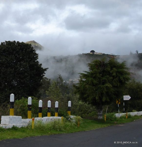
You will be crossing the Karnataka Tamilnadu border between Chamarajanagar and Sathyamangalam. This is a forest stretch with more than 2 dozens of hairpin bends with steep downhill road ( for about 20km stretch), though the road is in good condition. You could spot wildlife , especially during the early mornings and in the evenings.
The road after Chamarajanagara is practically empty except for the odd interstate buses and the slow moving trucks laden with sugarcane heading towards the distilleries in Tamilnadu. Between Chamarajanagar and Sathyamangalam there are no big travelers conveniences (restaurants, toilets, shops etc ). And it is a 2 hour stretch . So plan your break accordingly.
The Ghat section starts at a small village in Dimbam ( with a couple of tea stalls and a fuel station) and ends at Bannari after some 21 hairpins that appears one after another . From Dimbam you can see the highland drops the height abruptly and the vast stretch of Deccan plateau as far as eye can see.
Also you can spot the Sathyamangalam town somewhere in the middle of the plateau. The whole thing is like a view from the an airplane’s window. If you want to enjoy the sight, do it at Dimbam , the highest and convenient view point. Beyond this, there are no practical place to park the vehicle to catch the view since the width of the road is just enough for the two way traffic.
Its a wide and well maintained road all the way to Sathyamangalam once you’ve reached the foothills of the Ghat Road. Sathyamangalam is a busy town and you’ve to wriggle out of it.
From Sathyamangalam you’ve two diversions options for Avinashi. One is at Annur and the second at Puliampatti. Both are on NH209. So continue on NH209 after Sathyamangalam.
After about 40km from Sathyamangalam you will reach a place called Annur (Puliampatti about 22km from Sathyamangalam), where you have to take a left deviation for Avinashi. Annur is a small village and you would easily slip past this without noticing the deviation, though the places are well marked with signposts. Ask for Annur and for the road to Avinashi. It’s a steep left turn, that is not obvious from a distance. If you miss this, you are on your way to Coimbatore city (some 30km from Annur). You can reach Udumalpet via Coimbatore, but it is a bit longer and more importantly you’ve to cross the busy Coimbatore city.
From Annur head towards Avinashi (about 18km). This is a narrow but drivable road.Near Avinashi this road joins the NH-544. From Avinashi to Munnar, follow the route as explained in other driving option (Bangalore to Munnar via Salem route)
Tailpiece
Another route one can consider is via Mysore. That is get to Mysore by the Bangalore-Mysore state highway ( SH17). From Mysore head towards Gundlupet (NH 212 / Ooty Road ). At about 23 km from Mysore you’ll cross Nanjangud town. Take a left deviation here (even there is a bypass , just before the town) for Chamarajanagara. From Chamarajanagar onwards the route is same as explained above. See the Bangalore to Ooty driving tips here.
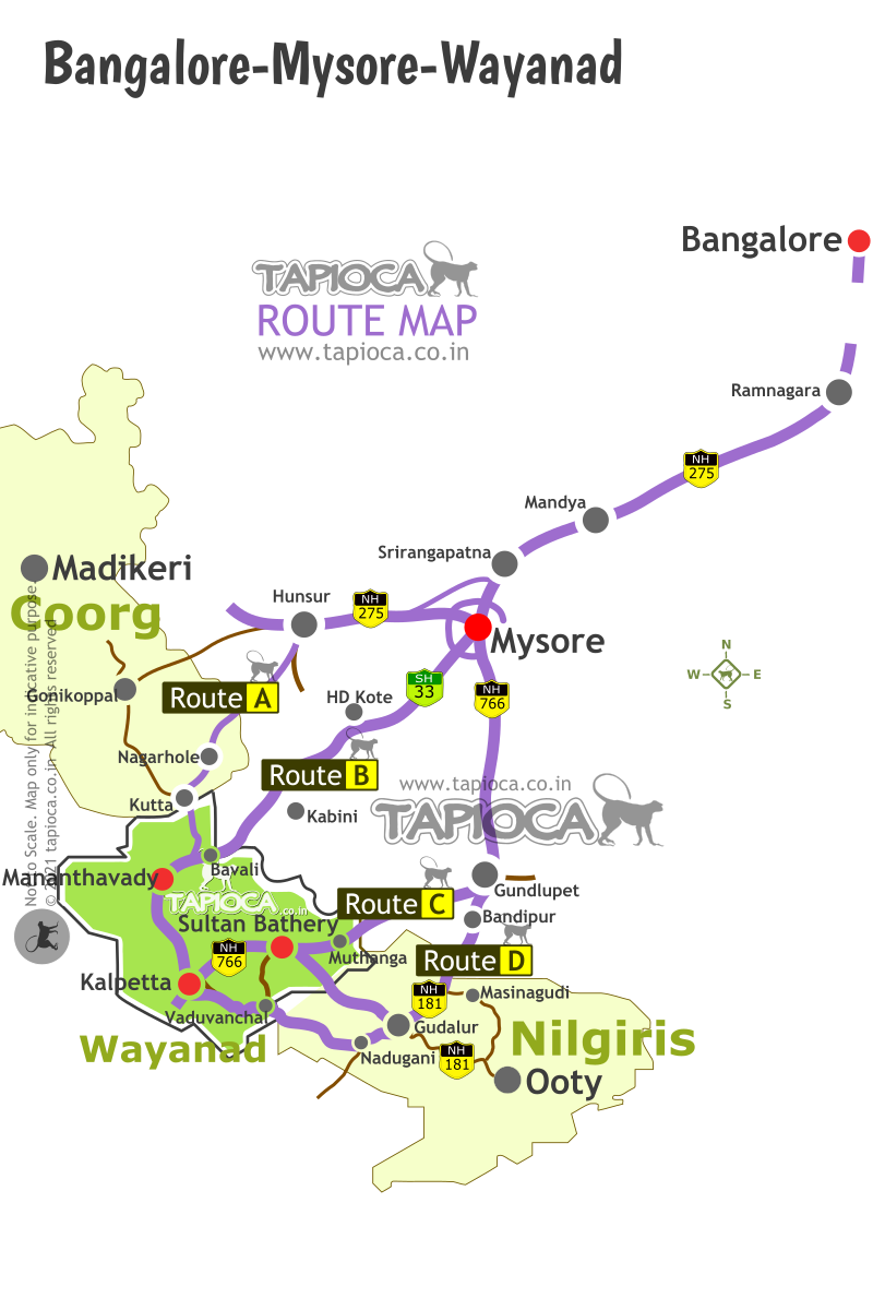
Bangalore-Mysore-Coorg-Wayanad-Ooty Route Map
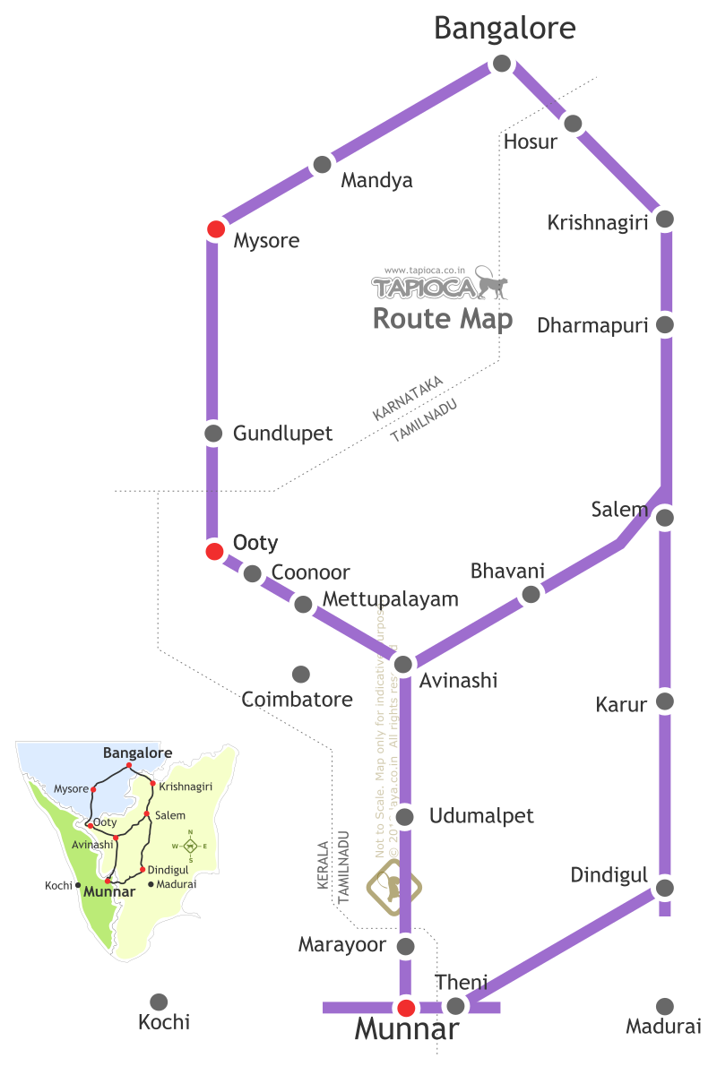
Bangalore to Munnar via Salem-Bhavani: Distance 480km
Bangalore to Munnar via Mysore & Ooty: Distance 560km.
Dindigul-Theni Route ( Munnar from Bangalore via Dindigul: Distance 550km
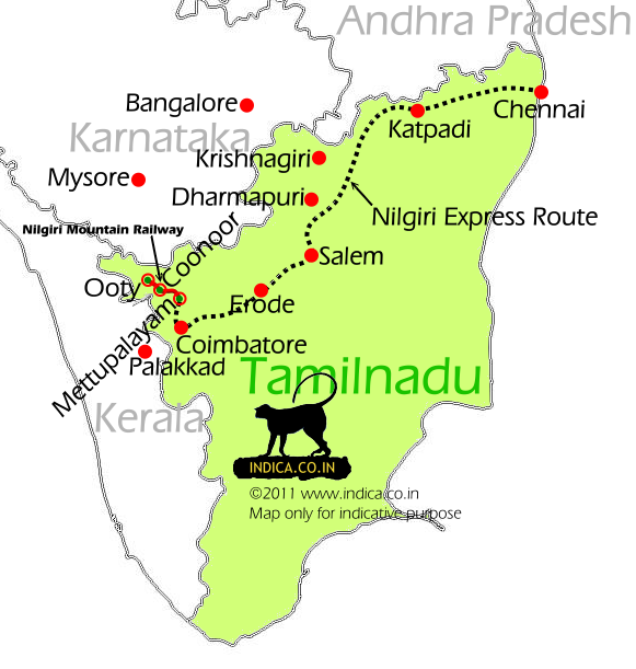
Chennai to Coimbatore, Mettupalayam, Ooty rail route.
Continue Exploring
Munnar and Meesapulimala A Comparison to decide what suits you
Munnar and Meesapulimala represent two distinct approaches to travel within…
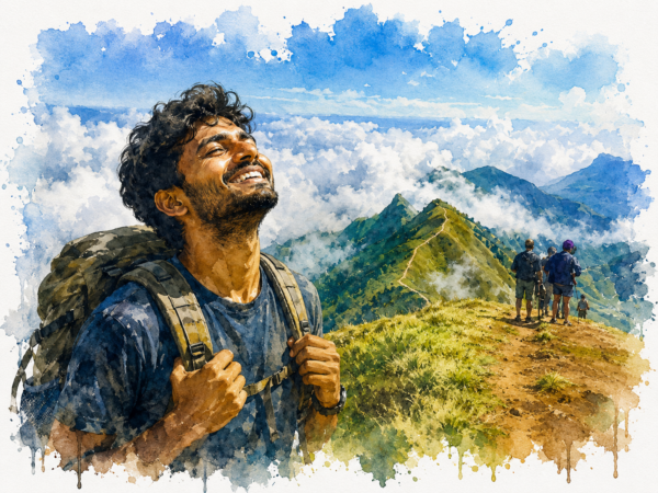
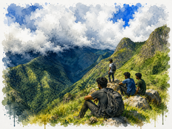
Meesapulimala Trekking
Meesapulimala trades commercial accessibility for pristine environmental isolation, offering a…
Why Visit Meesapulimala?
Meesapulimala is one of Kerala’s most rewarding mountain destinations, but…
Why Visit Munnar?
Munnar is where Kerala's mountains become the destination rather than…